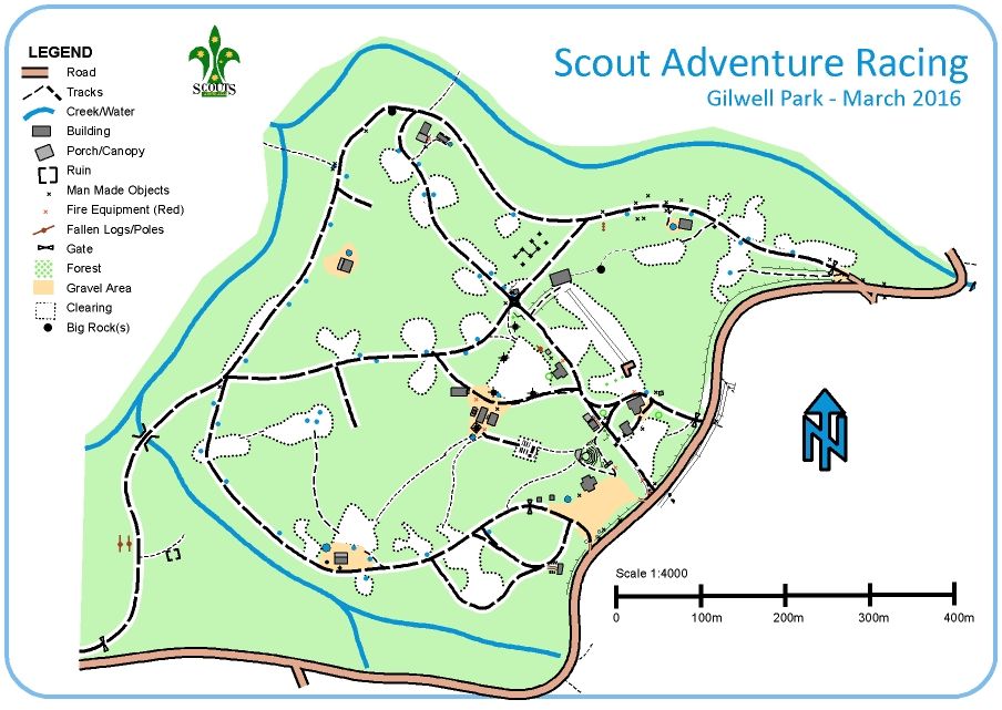
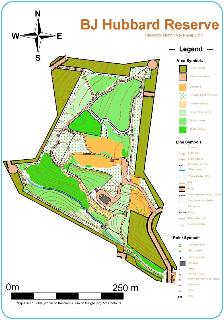
Ready to Go Maps

The maps below are some of those that we've used for the Adventure Racing Series.
We'd encourage you to click on those you like and download the associated PDF version.
When time permits, we'll provide materials on training children and details of activities and games 
that can be used to practise map reading and navigation skills.

North Ringwood

A wonderful reserve with some interesting terrain - contour features, creek and lots of minor tracks. The building marked is the hall belonging to 7th Ringwood Scout Group.
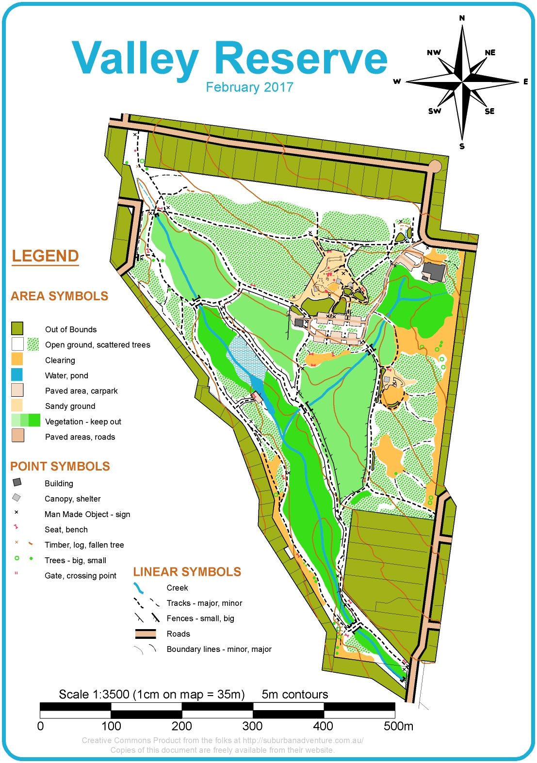
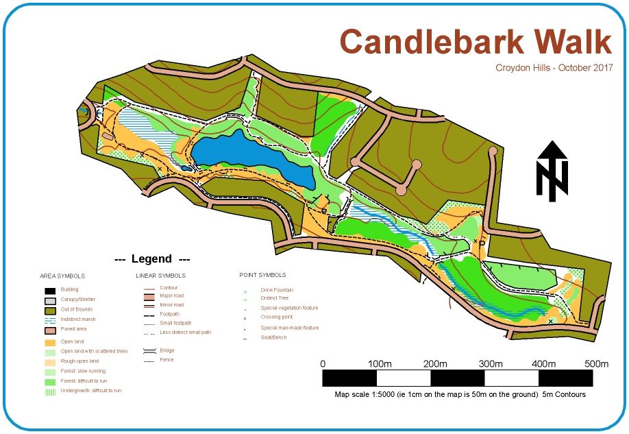
Mount Waverley

A superb reserve - absolutely perfect for training in navigation and outdoor exercises such as wide games. The reserve (top center) has a great adventure playground with lots of car-parking, barbecues, shelter, water and toilets. 
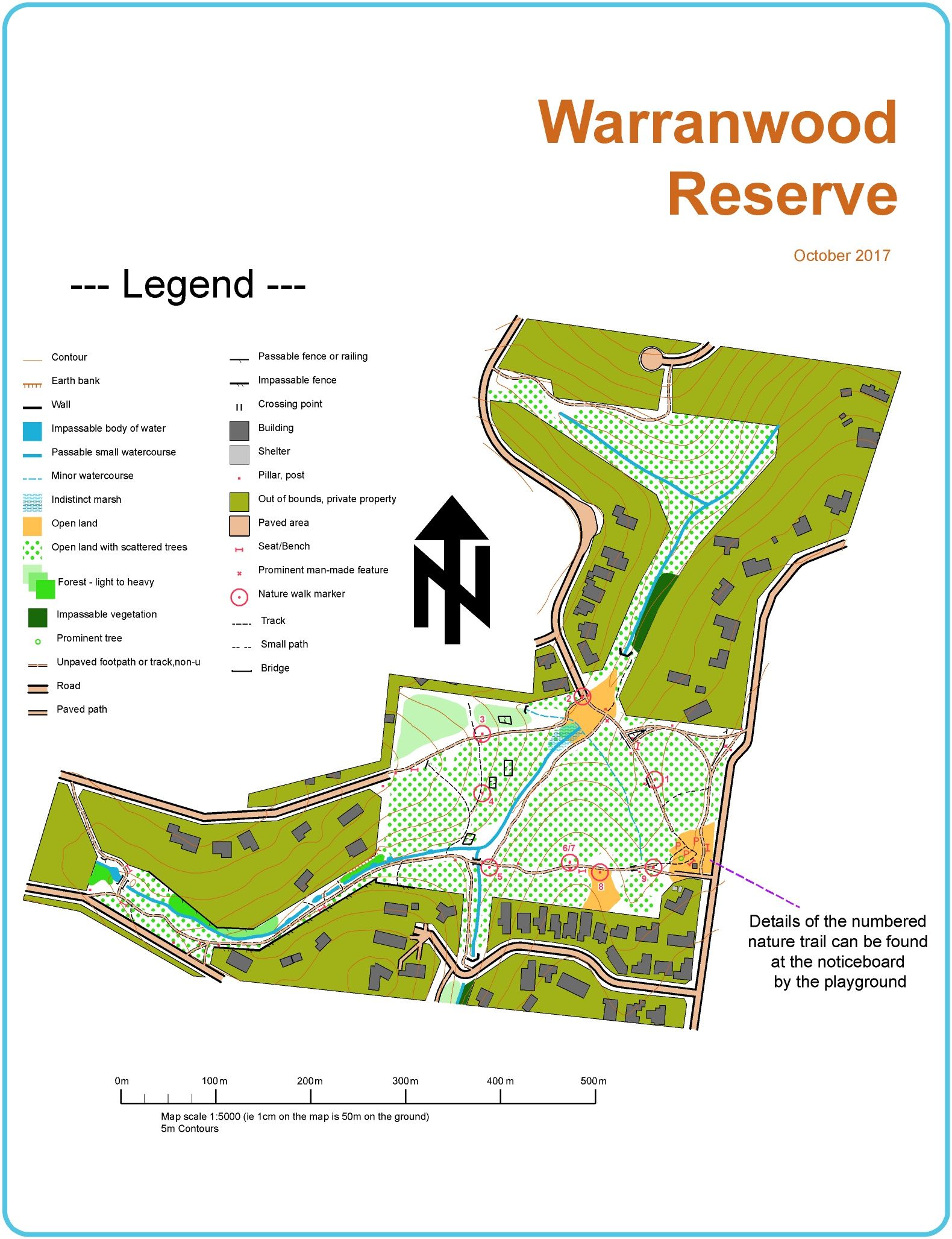
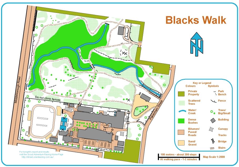
Vermont

An area suited to more advanced scouts and venturers. Good car-parking at the South and the local scout hall (at the start triangle).

Wattle Park - Surrey Hills

A famous park in Melbourne's Eastern suburbs; Wattle Park boasts a kiosk and chalet during Summer and has shelter (the trams), BBQs, picnic facilities and toilets. 

Croydon Hills

Suitable for a trail walk for younger folk. There is a permanent course with posts at the marked locations.

East Doncaster

The home of 3rd Doncaster East is particularly suitable for navigation training. The reserve contains enough detail to set challenging courses for cubs and scouts. 

Croydon North

x

Gilwell Park

x

Ringwood

x

Forest Hill

x

Heatherdale

x

Blackburn

x